We get a version of this question before almost every trip, usually from someone who booked flights before actually looking at a map: where is Aruba, is it part of the US, and are we flying into hurricane season. We live here, and we would rather answer all three honestly in one place than have you piece it together from a dozen "fun facts" lists that do not agree with each other.
The Short Answer
Aruba is a small island in the far southern Caribbean Sea, sitting at roughly 12.5 degrees north latitude and 70 degrees west longitude. It is about 15 miles (24 km) off the northwest coast of Venezuela, close enough to the South American mainland that it sits on that continent's own continental shelf rather than out in open Caribbean water. It is one of the three ABC islands, alongside Bonaire and Curacao, and it is a constituent country within the Kingdom of the Netherlands, not a US territory. That combination, this far south, close to Venezuela, Dutch rather than American, is what confuses most first-time visitors, so we will take each piece on its own.
Our pick
Want a local to plan the whole trip?
Our concierge builds your days around what you actually want, from $149. Real people who live in Aruba.
How Close Is Aruba to Venezuela, and Does It Matter
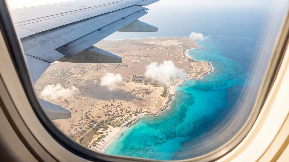
Aruba sits roughly 15 miles (about 24 km) north of Venezuela's Paraguana Peninsula, which makes it one of the closest Caribbean islands to the South American mainland. Unlike the volcanic islands further up the eastern Caribbean chain (Martinique, Dominica, Saint Lucia), Aruba, Bonaire, and Curacao are flat, dry continental shelf fragments, not volcanoes. That is why Aruba has no mountains, no rainforest, and none of the lush, green profile people associate with a typical Caribbean island. It looks and feels more like a desert that happens to sit next to turquoise water, cactus and divi-divi trees instead of palm jungle, because geologically it really is an extension of South America poking up out of the sea.
Practically, the Venezuela distance rarely affects a visit. You will not see Venezuela from your resort, and nothing about the proximity changes how a trip feels day to day. It mostly matters for one thing: it explains why Aruba's weather and terrain look so different from islands people picture when they think "Caribbean."
What Country Is Aruba? (And Is It Part of the US?)
No, Aruba is not part of the United States, and it never has been. It is also not fully independent. Aruba is a constituent country within the Kingdom of the Netherlands, one of four (alongside the Netherlands itself, Curacao, and Sint Maarten), with its own government, parliament, constitution, and currency (the Aruban florin). That setup is called "status aparte," and it has been in place since January 1, 1986, when Aruba separated from the old Netherlands Antilles.
In practice, Aruba runs its own domestic affairs completely. Day to day, almost nothing about visiting Aruba feels like visiting the Netherlands, prices are in dollars and florins, not euros, and the official languages are Dutch and Papiamento, with English used everywhere in tourism (our language guide covers that in full). What the Kingdom of the Netherlands still handles is defense and foreign relations. The practical upshot for US travelers: because Aruba is not US territory, you need a real passport to visit, the same as any other foreign country, not just a driver's license the way you could fly to Puerto Rico. Our passport guide has the exact document checklist.
Aruba is also one of three ABC islands, grouped with Bonaire and Curacao, all Dutch Caribbean islands sitting close together off the Venezuelan coast but with genuinely different personalities, Aruba busier and more built up, Bonaire quieter and diving-focused, Curacao a real working city. If you are deciding between them, our Aruba vs Curacao vs Bonaire comparison breaks down which one actually fits your trip.
What Continent Is Aruba On?
There is no perfectly clean answer here, and we would rather say so than force one. Most general reference sources group the Caribbean, Aruba included, under "the Americas" without assigning it specifically to North or South America, since island nations in the Caribbean typically are not counted as part of either continent's mainland. Geologically, though, Aruba leans south: the island sits on the continental shelf of South America, not on a separate Caribbean plate, which is also the reason it has no volcanic peaks like the islands further up the Lesser Antilles chain. So the honest short version is: culturally and in most travel contexts, Aruba is simply "Caribbean." Geologically, it is effectively an outlying piece of South America.
How Far Is Aruba From the US, and How Long Is the Flight
From Miami, Aruba is about 1,135 miles away, and the fastest nonstop flight runs around 3 hours. That is one of the shortest flight times to any island in the southern Caribbean from the US mainland, closer in practice than several islands that sit much further north. From the wider East Coast (New York, Boston, Charlotte, Washington DC), expect something closer to 4 to 4.5 hours nonstop. Aruba's airport also has US Customs preclearance, so you clear US immigration before you board your flight home and land back in the US as a domestic passenger.
Full nonstop routes, current gateways, and how to find a cheap fare are all in our guide to getting to Aruba, since the exact route map shifts a little most years.
Is Aruba in the Hurricane Belt?
This is the question that spikes every year right about now, since the Atlantic hurricane season runs through November 30. The short answer: Aruba sits at the far southern edge of where Atlantic hurricanes develop and travel, well south of the main corridor that runs through the Lesser Antilles toward Puerto Rico, the Bahamas, and the US mainland. That latitude, combined with sitting close to the South American continent, is a real part of why the island has no confirmed direct hurricane hit in the Atlantic hurricane database NOAA has kept since 1851. The closest brush in modern memory was Hurricane Felix in 2007, which passed north of the island with no significant damage.
We are not going to promise a weather guarantee, because nowhere on Earth can. What the record actually shows, the history, the latitude, and what that means for planning a trip in any month, is covered in full in our Aruba hurricane season guide.
Our pick
Find your hotel by month, beach & budget
Compare current Aruba rates across the major booking sites in one place, in USD. Most rooms are free to cancel.
One Honest Trade-off of Sitting This Far South
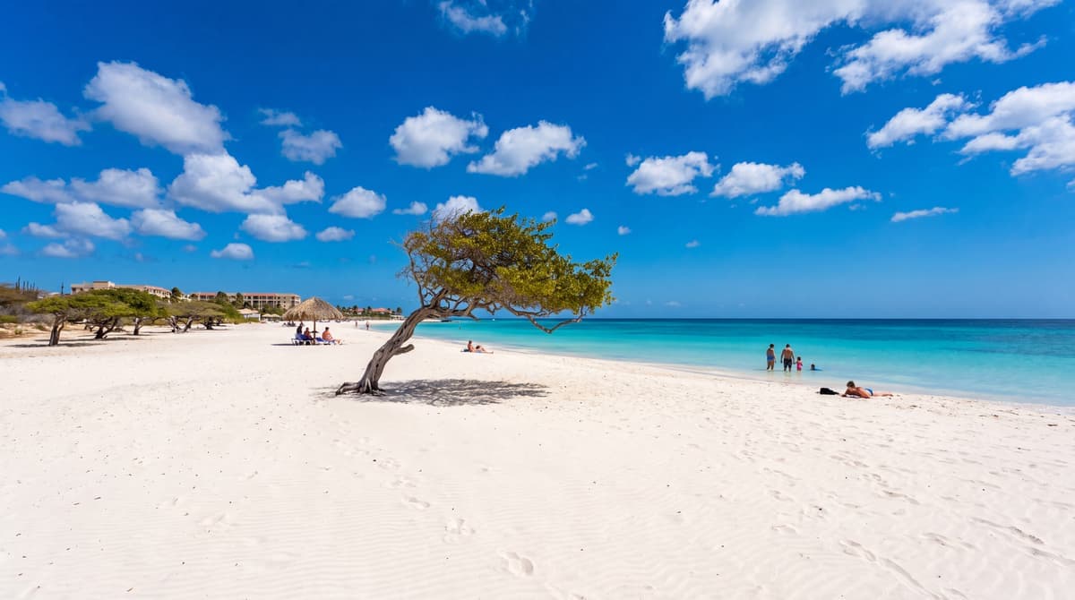
Being this close to the equator and this far from the main hurricane corridor is genuinely good news for storm risk, but it is not a free lunch. That same latitude and position in the trade-wind belt means Aruba is also reliably hot, dry, and windy almost every single day of the year, not occasionally breezy, constantly breezy. It is one of the driest islands in the Caribbean, and the near-constant wind is exactly what bent the island's divi-divi trees into their famous permanent lean. Most visitors end up loving it (it is natural air conditioning and it keeps the bugs down), but it is worth knowing before you go rather than being surprised by it. Our honest guide to Aruba's wind covers the full seasonal pattern and which beaches stay calm regardless.
Aruba on a Map: The Quick Facts
- Region: Southern Caribbean Sea, part of the Leeward Antilles (the ABC islands)
- Coordinates: approximately 12.5 degrees N, 70 degrees W
- Nearest country: Venezuela, about 15 miles (24 km) to the south
- Size: about 20 miles (32 km) long and 6 miles (10 km) wide at its widest point
- Capital: Oranjestad
- Political status: constituent country within the Kingdom of the Netherlands, not a US territory
- Time zone: Atlantic Standard Time (AST, UTC minus 4), with no daylight saving changes (our Aruba time zone guide has the full US time-difference math)
- Languages: Dutch and Papiamento officially, English used throughout tourism
The Bottom Line
Aruba sits in the far southern Caribbean, close enough to Venezuela to share its continental shelf, governed as its own country within the Kingdom of the Netherlands rather than any part of the United States, and positioned low enough in latitude to sit outside the main Atlantic hurricane corridor. That same position is also why it runs dry and windy nearly year round. None of that is a reason to hesitate on a trip, it is just the actual geography behind a destination most people only picture in postcards. Once the location questions are settled, the next one is timing: our best time to visit Aruba guide lines up weather, crowds, and price by month, and our trip planner can help with everything after that.